Parcel C The Frontier Ranch - 234 acres
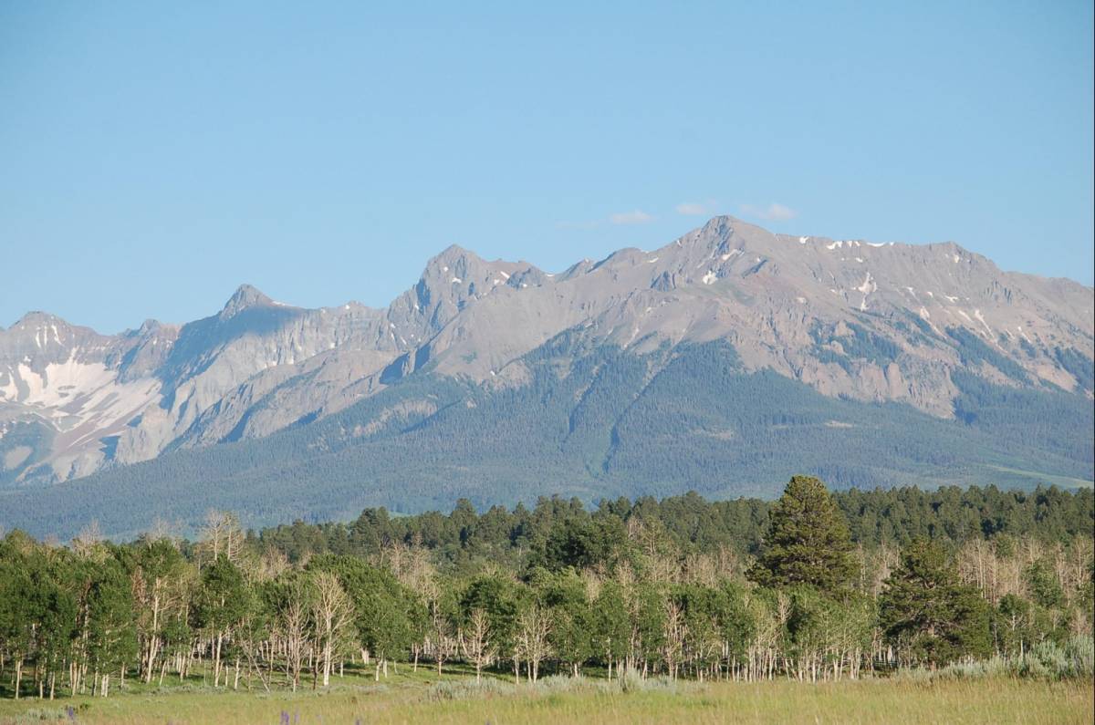 photo 1/21
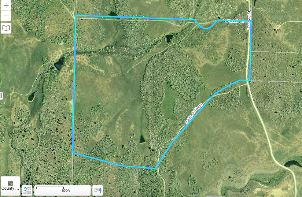 photo 2/21
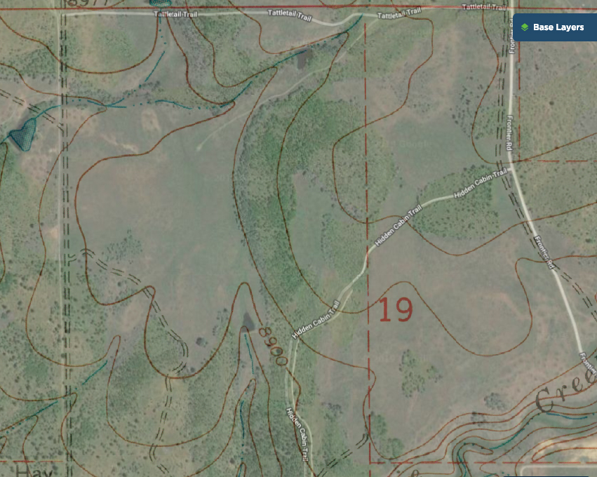 photo 3/21
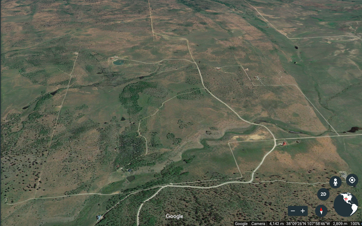 photo 4/21
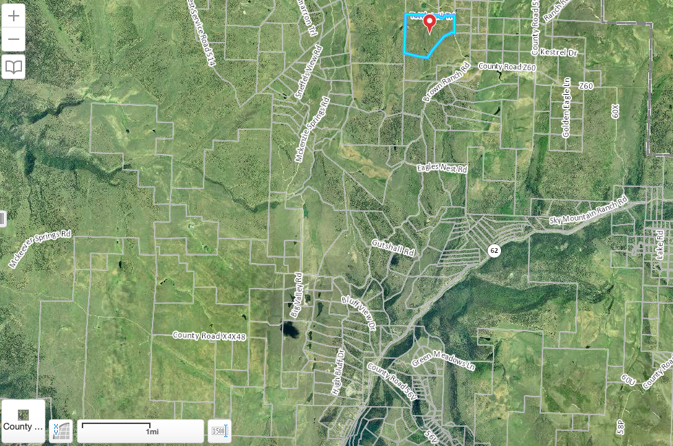 photo 5/21
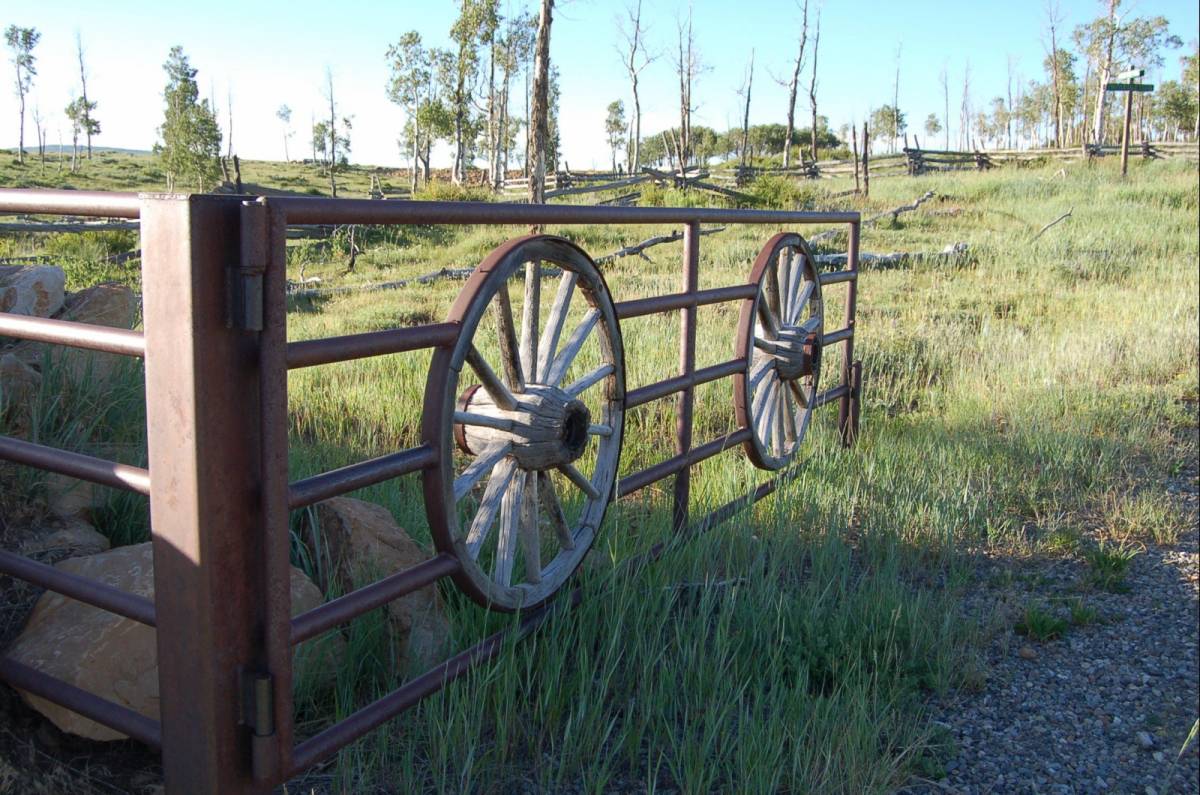 photo 6/21
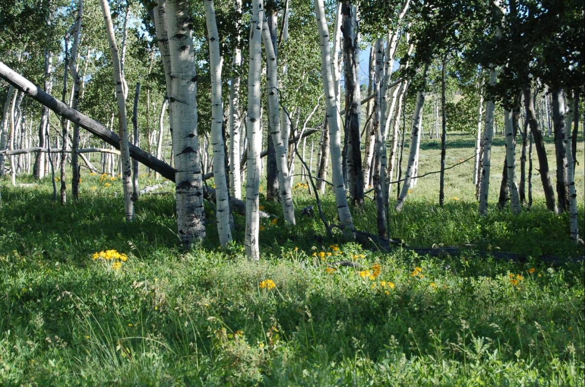 photo 7/21
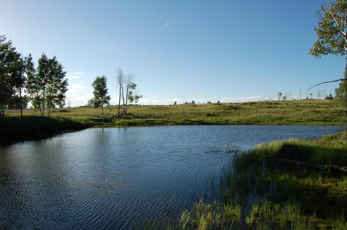 photo 8/21
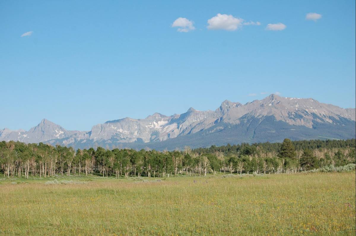 photo 9/21
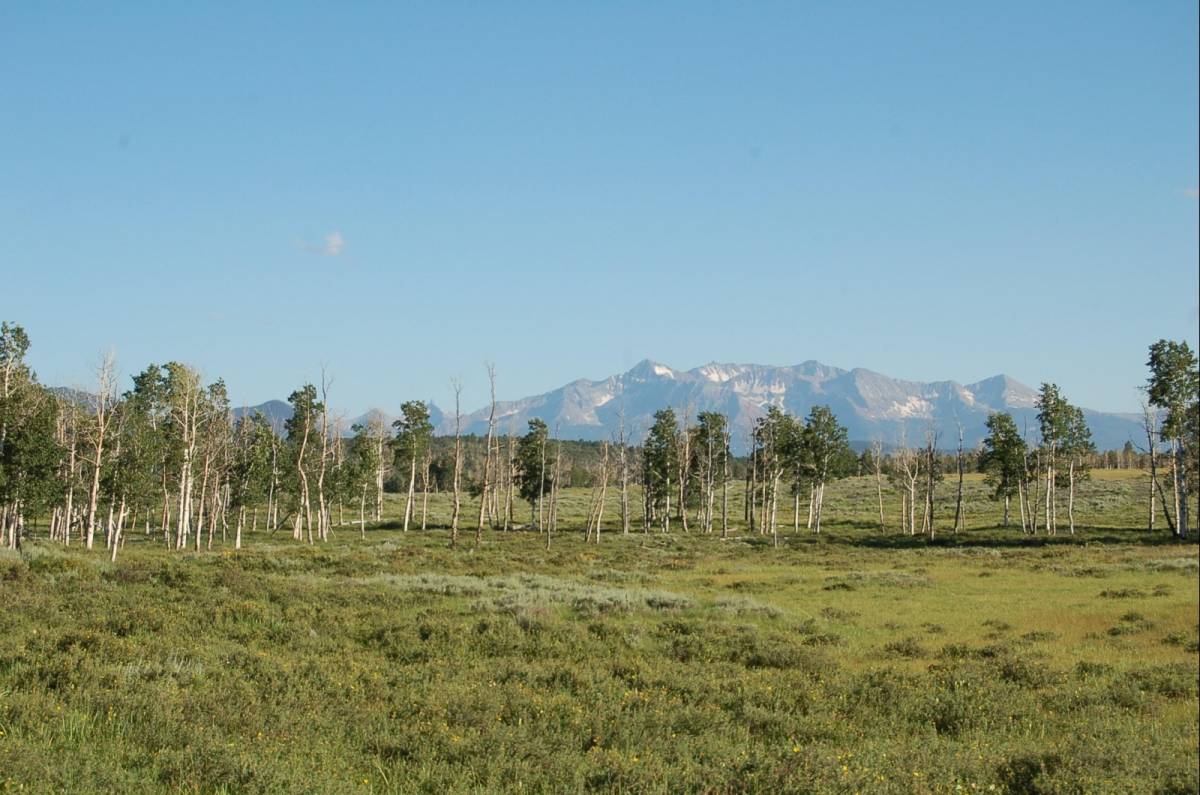 photo 10/21
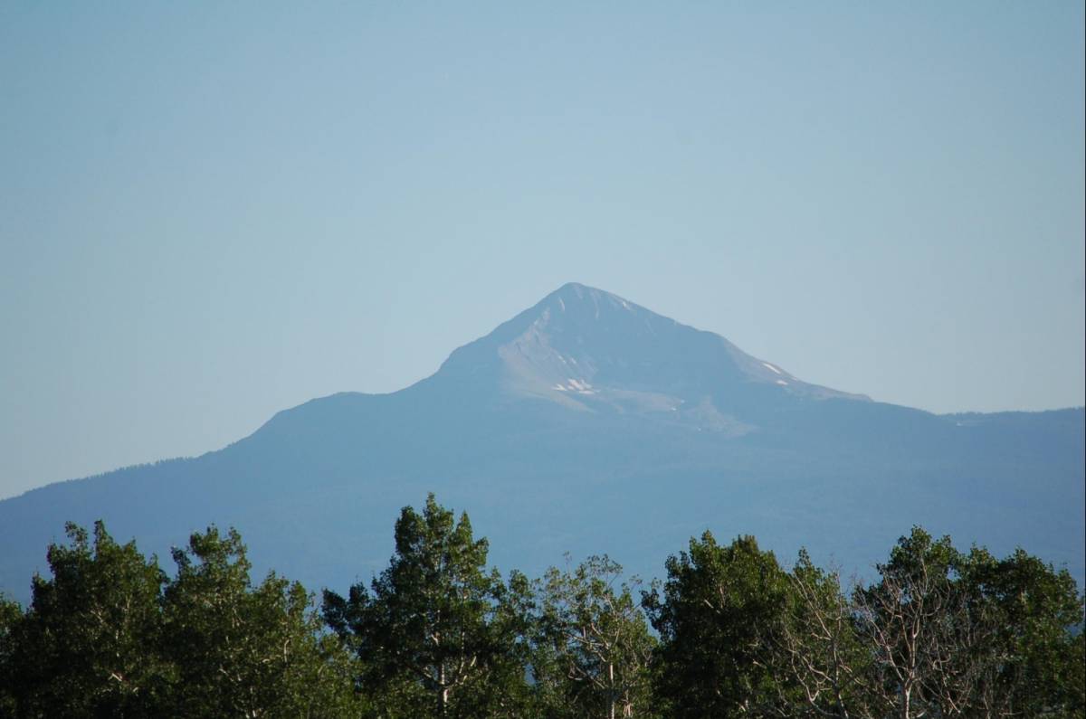 photo 11/21
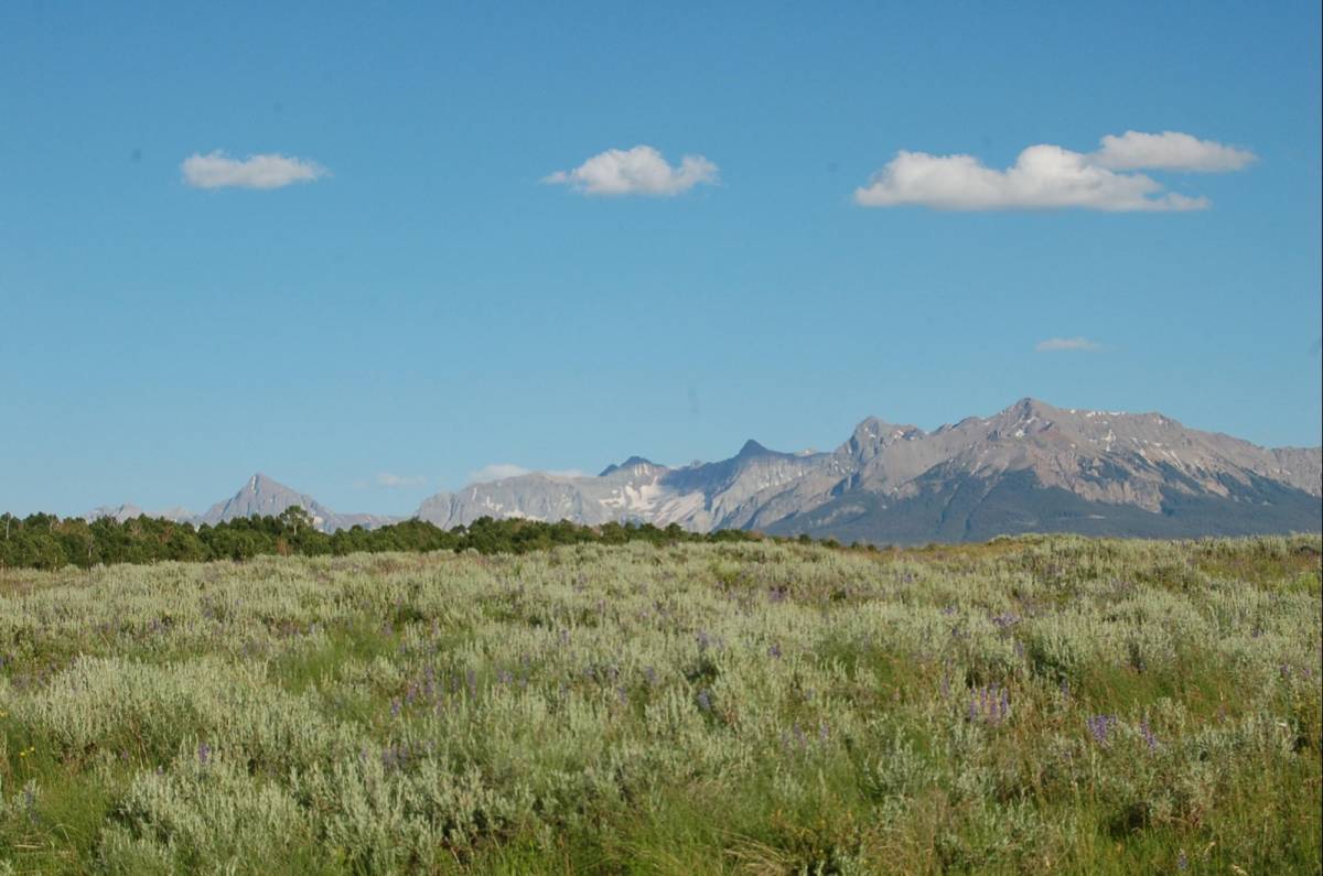 photo 12/21
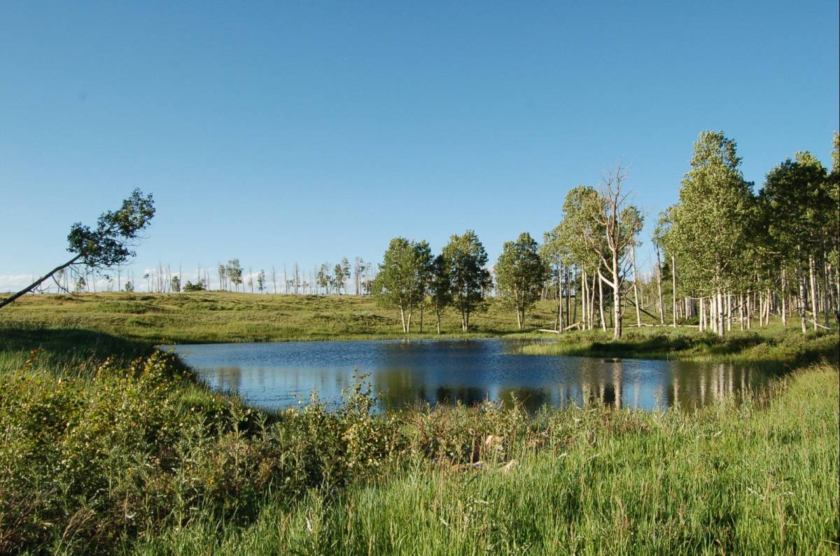 photo 13/21
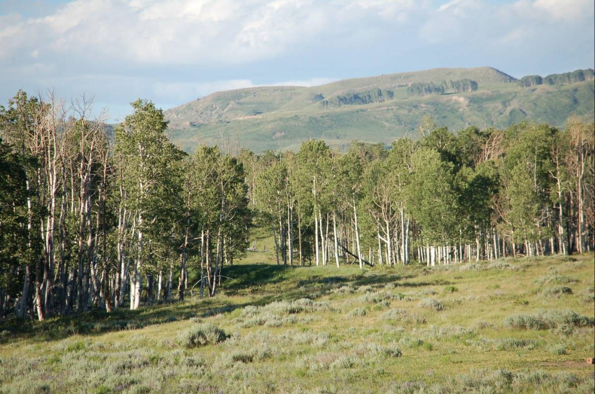 photo 14/21
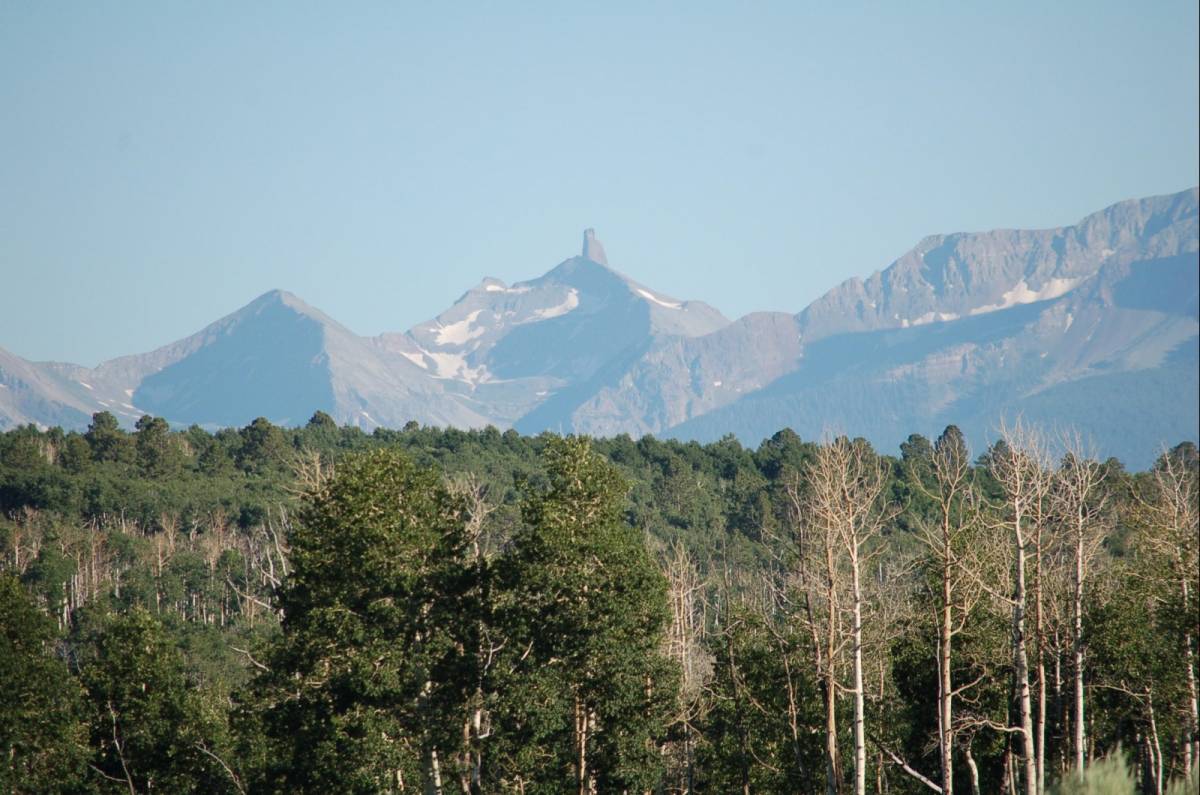 photo 15/21
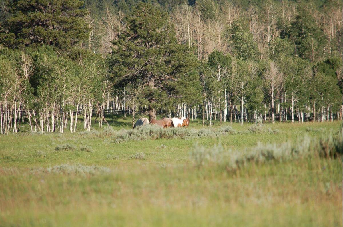 photo 16/21
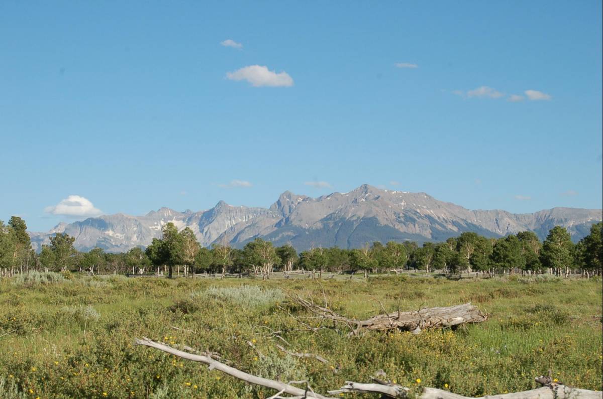 photo 17/21
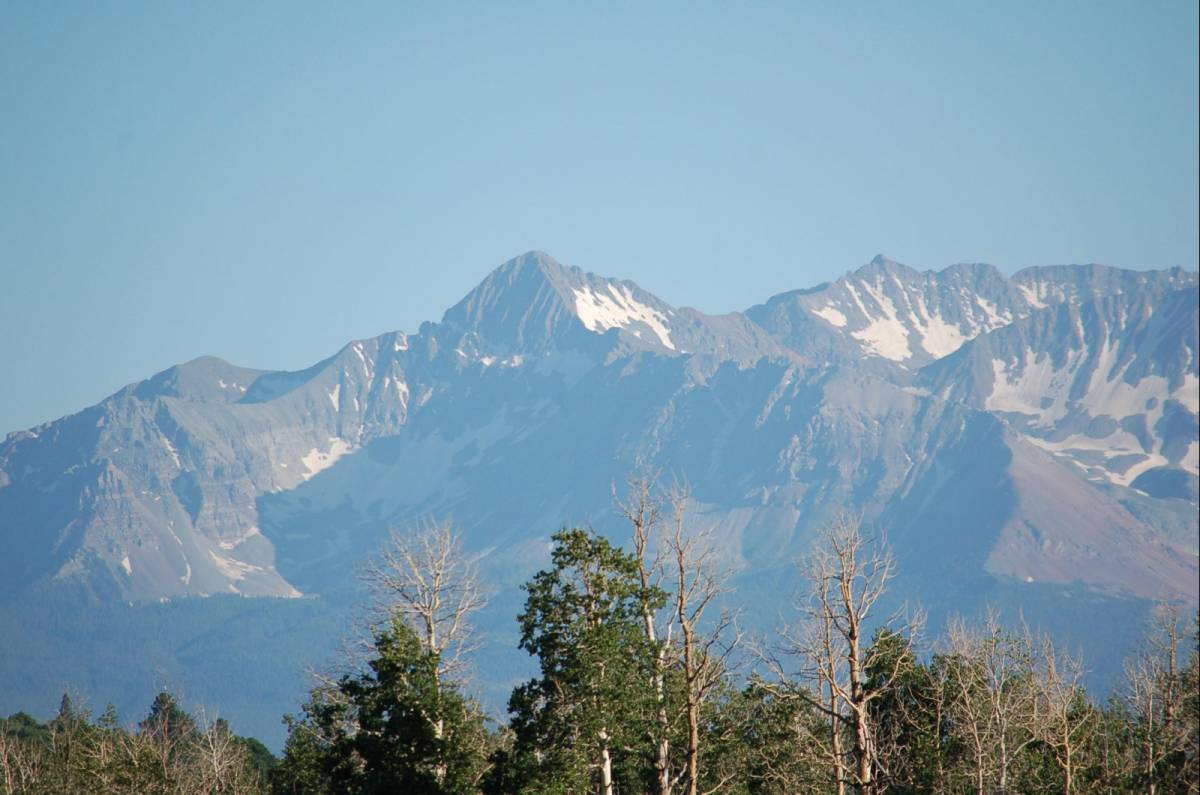 photo 18/21
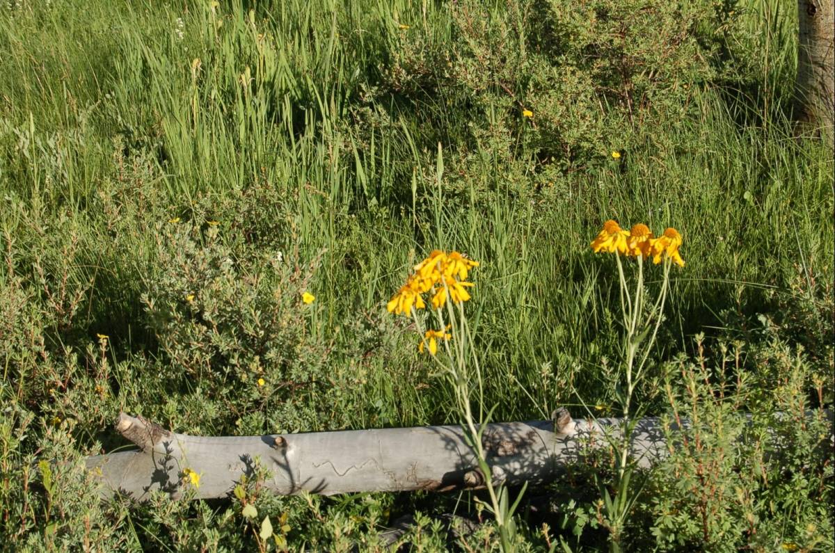 photo 19/21
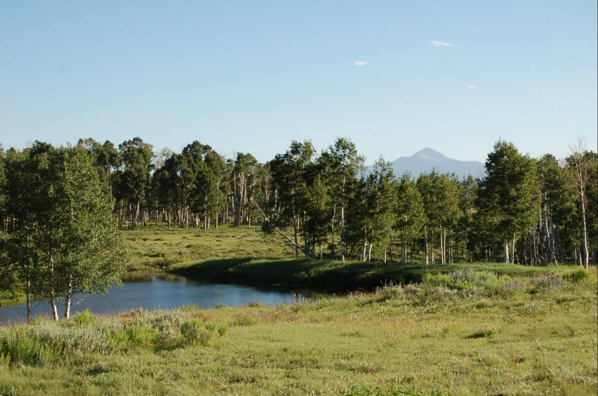 photo 20/21
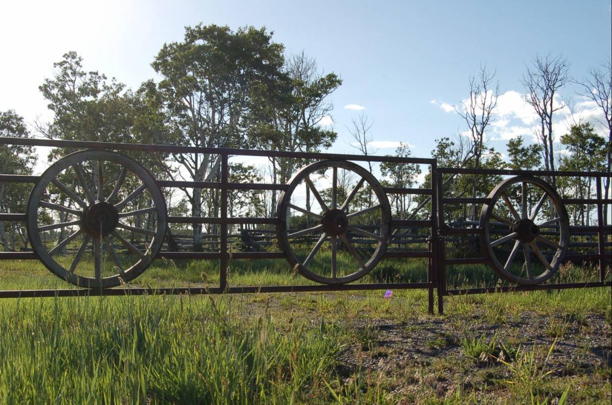 photo 21/21
The Frontier Ranch Parcel C ~ 45 minutes to Telluride.
Is an exceptional Ranch property on Iron Springs Mesa with 234 acres of open meadows, Aspen trees and great views of the San Juan Mountains. The terrain is generally flat and rolling. It has decreed Irrigation rights with 2 ponds and can be subdivided into two parcels of 100+ acres each. Therefore, each 100+ parcel is zoned 5-307 and could have the below mentioned buildings allowed by right. The property is completely fenced with access through Brown Ranch and is part of their road maintenance association which is $1,100/year. It is in one of the most sought after hunting units in the State of Colorado, Unit 61 known for trophy hunting.
5-307 Forestry, Agriculture and Open (F) (see Zoning PDF document for entire language):
5-307 A. Purpose: The Forestry, Agriculture and Open (F) Zone District is intended to preserve large, relatively remote areas of the County for resource, agricultural, open space and recreational proposes. These areas currently have minimum public facilities and services and are considered inappropriate for substantial development. Development activities in these areas should be limited to the minimal list of activitities that are allowed under State and Federal laws. All permitted development should fully mitigate the effects of such development upon the environment and on the County's budget. Development and/or special uses are encouraged to be located outside environmentally sensitive land.
5-307 B. Uses Allowed by Right:
1. Single-family dwellings with less than 12,000 sq. ft. of floor area, mobile homes and accessory uses and accessory builidings wiht footprints less than 3,000 sq. ft (if such buildings and uses are not part of normal and customary agriculture and ranching activities).
Water Rights Decreed Absolute (see Water Rights PDF document with exact findings):
1. Kummant North Pond Water Right: Source is East Fork McKenzie Creek, San Miguel River; Amount of 0.96 acre-feet; Surface Area of High Water Line of 18,730.8 feet (1) Maximum height of dam of 6 feet (2) Length of dam of 167 feet; Total capacity of reservoir of 0.96 acre-feet (1) Active capacity of 0.96 acre-feet (2) Dead storage of 0; Beneficial Uses of irrigation (irrigation use is for a maximum of 5 acres, primarily lawn and garden watering on the property), recreation, piscatorial, fire protection, livestock and wildlife purposes.
2. Kummant South Pond Water Right: Source is East Fork McKenzie Creek, San Miguel River; Amount of 1.16 acre-feet; Surface Area of High Water Line of 0.31 acres (1) Maximum height of dam of 8 feet (2) Length of dam of 132 feet; Total capacity of reservoir of 1.16 acre-feet (1) Active capacity of 1.16 acre-feet (2) Dead storage of 0; Beneficial Uses of irrigation (irrigation use is for a maximum of 5 acres, primarily lawn and garden watering on the property), recreation, piscatorial, fire protection, livestock and wildlife purposes.